| Folder No. | County Name City |
Scanning | TSR | Quadrangle | Lat/Long | Project | Dates | Miscellaneous | Range of sheets | No. of sheets |
Cabinet | Notes |
|---|---|---|---|---|---|---|---|---|---|---|---|---|
|
Sheet 1, No. 386
View |
Cherokee
Oswego, Hallowell |
Scanned
(15 online) |
T. 32-33 S., R. 21-22 E. | Oswego |
37.192543
-95.061872 |
EW 9000 VDCQ | 1-1-73, 1-24-73, 2-9-73 | Flights 1, 2, 3, 4, and 5 | 1-221, 1-223, 2-25, 2-27, 2-29, 2-63, 2-65 to 67, 4-51, 4-53, 4-55, 4-77, 4-79, 4-81. | 15 | 8 | All photos as listed. Check for O5. 1 Supp BK. Younger and Raymond |
Click on any thumbnail to view a larger photo.
|
GS-VDCQ_1-221
37.135177 -95.078351 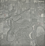
|
GS-VDCQ_1-223
37.13513 -95.043058 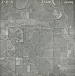
|
GS-VDCQ_2-25
37.158891 -95.088449 
|
GS-VDCQ_2-27
37.159315 -95.053526 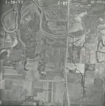
|
GS-VDCQ_2-29
37.160586 -95.018072 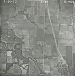
|
GS-VDCQ_2-63
37.213073 -95.10863 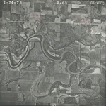
|
|
GS-VDCQ_2-65
37.214014 -95.071967 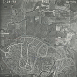
|
GS-VDCQ_2-66
37.214624 -95.053873 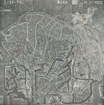
|
GS-VDCQ_2-67
37.215755 -95.03655 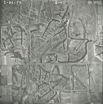
|
GS-VDCQ_4-51
37.188601 -95.095061 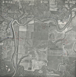
|
GS-VDCQ_4-53
37.188224 -95.05947 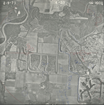
|
GS-VDCQ_4-55
37.187753 -95.023648 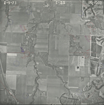
|
|
GS-VDCQ_4-77
37.239485 -95.028874 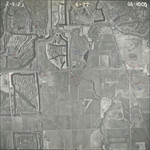
|
GS-VDCQ_4-79
37.23859 -95.067098 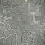
|
GS-VDCQ_4-81
37.238919 -95.101454 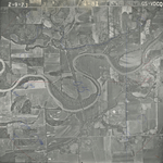
|