| Folder No. | County Name City |
Scanning | TSR | Quadrangle | Lat/Long | Project | Dates | Miscellaneous | Range of sheets | No. of sheets |
Cabinet | Notes |
|---|---|---|---|---|---|---|---|---|---|---|---|---|
|
Sheet 1, No. 454
View |
Clark
No city |
Scanned
(8 online) |
T. 32-33 S., R. 22-23 W. | Ashland, Sitka |
37.187657
-99.71602 |
Ashland | 3-29-1971 | 1-239, 235 to 233, 174 to 177 | 8 | 9 | City aerial photos are missing |
Click on any thumbnail to view a larger photo.
|
GS-VCPJ_1-174
37.151431 -99.727189 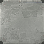
|
GS-VCPJ_1-175
37.151376 -99.706832 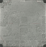
|
GS-VCPJ_1-176
37.151539 -99.684083 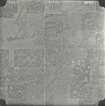
|
GS-VCPJ_1-177
37.150941 -99.66236 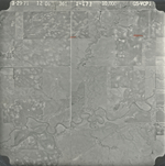
|
GS-VCPJ_1-233
37.209413 -99.727217 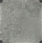
|
GS-VCPJ_1-234
37.209712 -99.705479 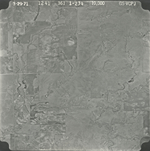
|
|
GS-VCPJ_1-235
37.2366 -99.717193 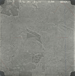
|
GS-VCPJ_1-239
37.240242 -99.797805 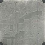
|