| Folder No. | County Name City |
Scanning | TSR | Quadrangle | Lat/Long | Project | Dates | Miscellaneous | Range of sheets | No. of sheets |
Cabinet | Notes |
|---|---|---|---|---|---|---|---|---|---|---|---|---|
|
Sheet 1, No. 465
View |
Clark
No city |
Scanned
(8 online) |
T. 31-32 S., R. 21-23 W. | Bloom SE, Mount Jesus |
37.30605
-99.699992 |
GS-VDCI | 4-9-1974 | 2-59, 7, 9, 11, 13, 1- 199, 201, 153 | 8 | 10 | Same as above |
Click on any thumbnail to view a larger photo.
|
GS-VDCI_1-153
37.361192 -99.69117 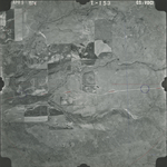
|
GS-VDCI_1-201
37.327209 -99.696455 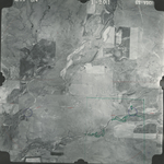
|
GS-VDCI_2-7
37.292565 -99.793324 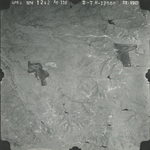
|
GS-VDCI_2-9
37.293606 -99.740088 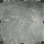
|
GS-VDCI_2-11
37.293348 -99.689923 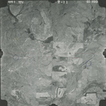
|
GS-VDCI_2-13
37.292381 -99.638218 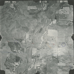
|
|
GS-VDCI_2-59
37.260323 -99.703012 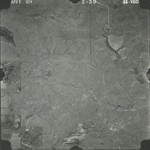
|
GS-VDCI_2-199
37.327774 -99.647742 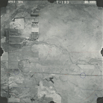
|