| Folder No. | County Name City |
Scanning | TSR | Quadrangle | Lat/Long | Project | Dates | Miscellaneous | Range of sheets | No. of sheets |
Cabinet | Notes |
|---|---|---|---|---|---|---|---|---|---|---|---|---|
|
Sheet 1, No. 519
View |
Coffey, Greenwood, Woodson, Lyon
Hartford |
Scanned
(33 online) |
T. 18-23 S., R. 13 E. | Lebo NW, Hartford, Gridley NW, Gridley |
38.240566
-95.951929 |
ZP | 7-14-1944 | Flight 1 20000 | 6B-1 to 6B-34 | 32 | 11 | **Includes a township-range map of the county with notes; Missing: ZP-6B-32 Folder labeled 16-A and 16-01 |
Click on any thumbnail to view a larger photo.
|
ZP-6B-1
38.455895 -95.953193 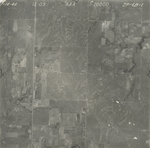
|
ZP-6B-2
38.443147 -95.951858 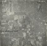
|
ZP-6B-3
38.430558 -95.952069 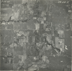
|
ZP-6B-4
38.417408 -95.952069 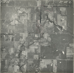
|
ZP-6B-5
38.404112 -95.952201 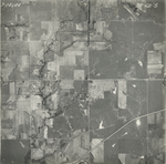
|
ZP-6B-6
38.390509 -95.951784 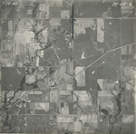
|
|
ZP-6B-7
38.377852 -95.95213 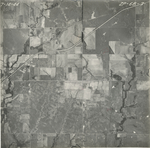
|
ZP-6B-8
38.364904 -95.952276 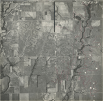
|
ZP-6B-9
38.350259 -95.950924 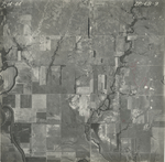
|
ZP-6B-10
38.335075 -95.94916 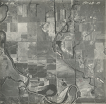
|
ZP-6B-11
38.322375 -95.950833 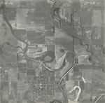
|
ZP-6B-12
38.309393 -95.950338 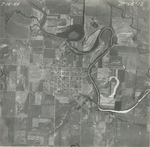
|
|
ZP-6B-13
38.295081 -95.950991 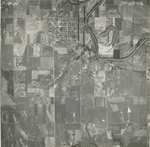
|
ZP-6B-14
38.281445 -95.952402 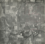
|
ZP-6B-15
38.268144 -95.952396 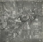
|
ZP-6B-16
38.25098 -95.953111 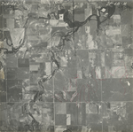
|
ZP-6B-17
38.241608 -95.952351 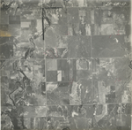
|
ZP-6B-18
38.228981 -95.95263 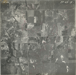
|
|
ZP-6B-19
38.214436 -95.952652 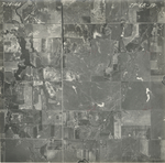
|
ZP-6B-20
38.199853 -95.953008 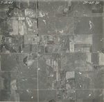
|
ZP-6B-21
38.186439 -95.952605 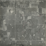
|
ZP-6B-22
38.173068 -95.951894 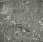
|
ZP-6B-23
38.159907 -95.951408 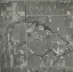
|
ZP-6B-24
38.146126 -95.952671 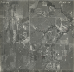
|
|
ZP-6B-25
38.133101 -95.951374 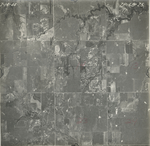
|
ZP-6B-26
38.119263 -95.951782 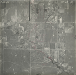
|
ZP-6B-27
38.107002 -95.951784 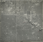
|
ZP-6B-28
38.093479 -95.952136 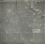
|
ZP-6B-29
38.080431 -95.95227 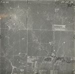
|
ZP-6B-30
38.066012 -95.952061 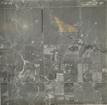
|
|
ZP-6B-31
38.052156 -95.952064 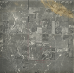
|
ZP-6B-33
38.026699 -95.951855 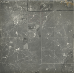
|
ZP-6B-34
38.012962 -95.951368 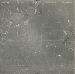
|