| Folder No. | County Name City |
Scanning | TSR | Quadrangle | Lat/Long | Project | Dates | Miscellaneous | Range of sheets | No. of sheets |
Cabinet | Notes |
|---|---|---|---|---|---|---|---|---|---|---|---|---|
|
Sheet 1, No. 523
View |
Coffey, Woodson
Gridley |
Scanned
(34 online) |
T. 18-23 S., R. 13-14 E. | Lebo NW, Hartford, Gridley NW, Gridley |
38.223127
-95.913809 |
ZP 1/10B | 9-2-1944 and 7-14-1944 | Flight 2 20000 | 9B-76 to 9B-92; 5B-92 to 5B-76 | 34 | 11 | Labeled 16-B and 16-02 |
Click on any thumbnail to view a larger photo.
|
ZP-5B-76
38.010873 -95.916354 
|
ZP-5B-77
38.023249 -95.916021 
|
ZP-5B-78
38.037421 -95.916158 
|
ZP-5B-79
38.049467 -95.915688 
|
ZP-5B-80
38.061544 -95.914658 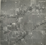
|
ZP-5B-81
38.07387 -95.914258 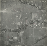
|
|
ZP-5B-82
38.086204 -95.913423 
|
ZP-5B-83
38.098918 -95.913082 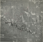
|
ZP-5B-84
38.112769 -95.91335 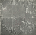
|
ZP-5B-85
38.125857 -95.913859 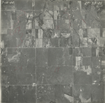
|
ZP-5B-86
38.139659 -95.914102 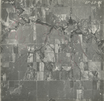
|
ZP-5B-87
38.152934 -95.913773 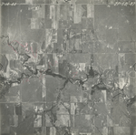
|
|
ZP-5B-88
38.164629 -95.914102 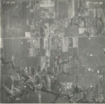
|
ZP-5B-89
38.177795 -95.913895 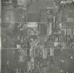
|
ZP-5B-90
38.191193 -95.914934 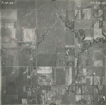
|
ZP-5B-91
38.204293 -95.913558 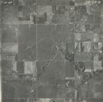
|
ZP-5B-92
38.216821 -95.914472 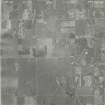
|
ZP-9B-76
38.462119 -95.91481 
|
|
ZP-9B-77
38.447585 -95.914423 
|
ZP-9B-78
38.4312 -95.913404 
|
ZP-9B-79
38.413977 -95.913615 
|
ZP-9B-80
38.397568 -95.910646 
|
ZP-9B-81
38.380015 -95.910891 
|
ZP-9B-82
38.363542 -95.910461 
|
|
ZP-9B-83
38.348018 -95.911275 
|
ZP-9B-84
38.332975 -95.912023 
|
ZP-9B-85
38.316132 -95.91156 
|
ZP-9B-86
38.299965 -95.912674 
|
ZP-9B-87
38.284005 -95.91464 
|
ZP-9B-88
38.268304 -95.915338 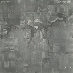
|
|
ZP-9B-89
38.252218 -95.914585 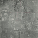
|
ZP-9B-90
38.236529 -95.915031 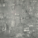
|
ZP-9B-91
38.220069 -95.914029 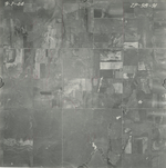
|
ZP-9B-92
38.204584 -95.914402 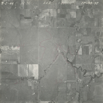
|