| Folder No. | County Name City |
Scanning | TSR | Quadrangle | Lat/Long | Project | Dates | Miscellaneous | Range of sheets | No. of sheets |
Cabinet | Notes |
|---|---|---|---|---|---|---|---|---|---|---|---|---|
|
Sheet 1, No. 531
View |
Coffey
Burlington |
Scanned
(36 online) |
T. 18-23 S., R. 15 E. | Lebo, Ottumwa, John Redmond Dam, Gridley SE |
38.232748
-95.766797 |
ZP | 7-14-1944 | Flight 6 20000 | 4B-41 to 4B-6 | 36 | 11 | Labeled 16-F and 16-06 |
Click on any thumbnail to view a larger photo.
|
ZP-4B-6
38.010182 -95.767249 
|
ZP-4B-7
38.02247 -95.766677 
|
ZP-4B-8
38.03565 -95.767218 
|
ZP-4B-9
38.048061 -95.767379 
|
ZP-4B-10
38.060991 -95.767697 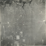
|
ZP-4B-11
38.073853 -95.767251 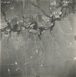
|
|
ZP-4B-12
38.086954 -95.767059 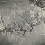
|
ZP-4B-13
38.099507 -95.766871 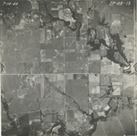
|
ZP-4B-14
38.11371 -95.766866 
|
ZP-4B-15
38.125523 -95.766867 
|
ZP-4B-16
38.137507 -95.766742 
|
ZP-4B-17
38.150492 -95.766742 
|
|
ZP-4B-18
38.161758 -95.766677 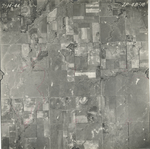
|
ZP-4B-19
38.175811 -95.766866 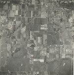
|
ZP-4B-20
38.186699 -95.76629 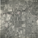
|
ZP-4B-21
38.199967 -95.766806 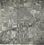
|
ZP-4B-22
38.212247 -95.767574 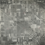
|
ZP-4B-23
38.226038 -95.767574 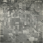
|
|
ZP-4B-24
38.239828 -95.767317 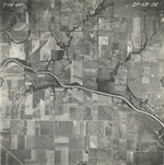
|
ZP-4B-25
38.251706 -95.767381 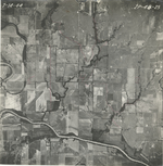
|
ZP-4B-26
38.263971 -95.767957 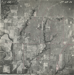
|
ZP-4B-27
38.277221 -95.766933 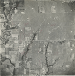
|
ZP-4B-28
38.288689 -95.76585 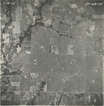
|
ZP-4B-29
38.300087 -95.766228 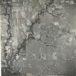
|
|
ZP-4B-30
38.312694 -95.766357 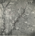
|
ZP-4B-31
38.32559 -95.766232 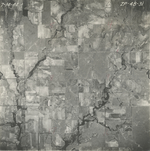
|
ZP-4B-32
38.339468 -95.767254 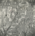
|
ZP-4B-33
38.351888 -95.767446 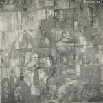
|
ZP-4B-34
38.366879 -95.766167 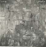
|
ZP-4B-35
38.379797 -95.765951 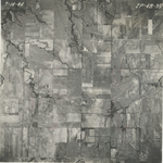
|
|
ZP-4B-36
38.394038 -95.765821 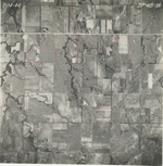
|
ZP-4B-37
38.404681 -95.765821 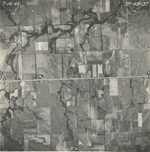
|
ZP-4B-38
38.417964 -95.765882 
|
ZP-4B-39
38.432439 -95.766841 
|
ZP-4B-40
38.445206 -95.766714 
|
ZP-4B-41
38.459366 -95.766139 
|