| Folder No. | County Name City |
Scanning | TSR | Quadrangle | Lat/Long | Project | Dates | Miscellaneous | Range of sheets | No. of sheets |
Cabinet | Notes |
|---|---|---|---|---|---|---|---|---|---|---|---|---|
|
Sheet 1, No. 556
View |
Coffey
Neosho Falls, Le Roy |
Scanned
(13 online) |
T. 22-23 S., R. 16-17 E. | Neosho Falls |
38.065659
-95.566897 |
GS-VCID | 11-20-1969 | Flights 1, 2, 3, 4 NS 10,000 | 1-147 to 151, 1-109 to 103, 1-63 to 67, 1-25 to 21 (odds only) | 12 | 11 | Books and Tape Destroyed; Book 1 D.R. Lucas; Tape |
Click on any thumbnail to view a larger photo.
|
GS-VCID-1-21
38.050476 -95.511324 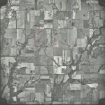
|
GS-VCID-1-23
38.082632 -95.508613 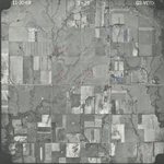
|
GS-VCID-1-25
38.116979 -95.509223 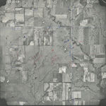
|
GS-VCID-1-63
38.093932 -95.546814 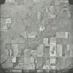
|
GS-VCID-1-65
38.060467 -95.546748 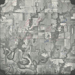
|
GS-VCID-1-67
38.028271 -95.546743 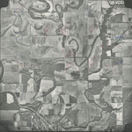
|
|
GS-VCID-1-103
38.002693 -95.584709 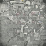
|
GS-VCID-1-105
38.03474 -95.586742 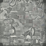
|
GS-VCID-1-107
38.067573 -95.582446 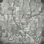
|
GS-VCID-1-109
38.10001 -95.582816 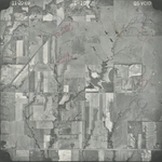
|
GS-VCID-1-147
38.105309 -95.620817 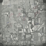
|
GS-VCID-1-149
38.071933 -95.620562 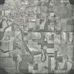
|
|
GS-VCID-1-151
38.038557 -95.622101 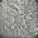
|