| Folder No. | County Name City |
Scanning | TSR | Quadrangle | Lat/Long | Project | Dates | Miscellaneous | Range of sheets | No. of sheets |
Cabinet | Notes |
|---|---|---|---|---|---|---|---|---|---|---|---|---|
|
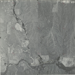
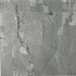
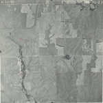
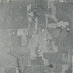
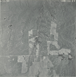
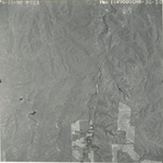
Sheet 1, No. 587
View |
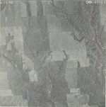
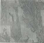
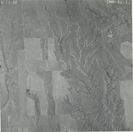
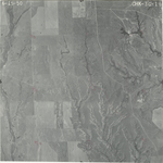
Comanche, Woods, OK, Kiowa
No city |
Scanned
(31 online) |
T. 30-35 S., R. 16-17 W. |
37.208994
-99.110477 |
CHK | 6-15-1950 and 6-24-1950 | Elevation = 20000 | 3G-30 to 9; 6G-38 to 30 | 31 | 12 | Folder labeled 17-12 |
Click on any thumbnail to view a larger photo.
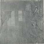
CHK-3G-9
|
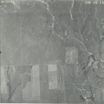
CHK-3G-10
|
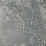
CHK-3G-11
|
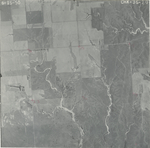
CHK-3G-12
|
CHK-3G-13
|
CHK-3G-14
|
CHK-3G-15
|
CHK-3G-16
|
CHK-3G-17
|
CHK-3G-18
|
CHK-3G-19
|
CHK-3G-20
|
CHK-3G-21
|
CHK-3G-22
|
CHK-3G-23
|
CHK-3G-24
|
CHK-3G-25
|
CHK-3G-26
|
CHK-3G-27
|
CHK-3G-28
|
CHK-3G-29
|
CHK-3G-30
|
CHK-6G-30
|
CHK-6G-31
|
CHK-6G-32
|
CHK-6G-33
|
CHK-6G-34
|
CHK-6G-35
|
CHK-6G-36
|
CHK-6G-37
|
CHK-6G-38
|