| Folder No. | County Name City |
Scanning | TSR | Quadrangle | Lat/Long | Project | Dates | Miscellaneous | Range of sheets | No. of sheets |
Cabinet | Notes |
|---|---|---|---|---|---|---|---|---|---|---|---|---|
|
Sheet 1, No. 815
View |
Douglas
No city |
Scanned
(24 online) |
T. 12-13 S., R. 19-20 E. |
38.889175
-95.280874 |
ZK | 9-23-1941 | 5B-3 to 26 | 24 | 16 | 23-G |
Click on any thumbnail to view a larger photo.
|
ZK-5B-3
39.043729 -95.279557 
|
ZK-5B-4
39.030091 -95.279337 
|
ZK-5B-5
39.014938 -95.279559 
|
ZK-5B-6
39.000626 -95.279235 
|
ZK-5B-7
38.989343 -95.279738 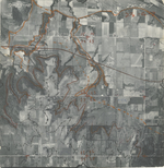
|
ZK-5B-8
38.975289 -95.280359 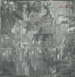
|
|
ZK-5B-9
38.962564 -95.280798 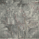
|
ZK-5B-10
38.948541 -95.280954 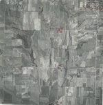
|
ZK-5B-11
38.933843 -95.281388 
|
ZK-5B-12
38.920648 -95.282453 
|
ZK-5B-13
38.908289 -95.280729 
|
ZK-5B-14
38.894113 -95.28057 
|
|
ZK-5B-15
38.88246 -95.280419 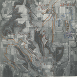
|
ZK-5B-16
38.869262 -95.281435 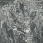
|
ZK-5B-17
38.855207 -95.280165 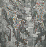
|
ZK-5B-18
38.842846 -95.280066 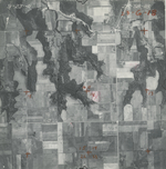
|
ZK-5B-19
38.827406 -95.280775 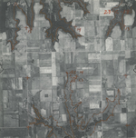
|
ZK-5B-20
38.814415 -95.2811 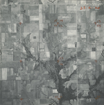
|
|
ZK-5B-21
38.800596 -95.281977 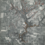
|
ZK-5B-22
38.786513 -95.281259 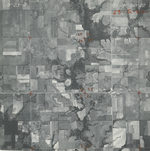
|
ZK-5B-23
38.77264 -95.282228 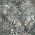
|
ZK-5B-24
38.761971 -95.28246 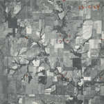
|
ZK-5B-25
38.761971 -95.28246 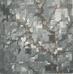
|
ZK-5B-26
38.742901 -95.28195 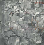
|