| Folder No. | County Name City |
Scanning | TSR | Quadrangle | Lat/Long | Project | Dates | Miscellaneous | Range of sheets | No. of sheets |
Cabinet | Notes |
|---|---|---|---|---|---|---|---|---|---|---|---|---|
|
Sheet 1, No. 837
View |
Douglas
Lawrence |
Scanned
(10 online) |
T. 12 S., R. 19-20 E. | Lawrence W, Lawrence E |
38.99279
-95.248133 |
860 2909 1 | 12-1-1969 | 2-1 to 10 | 10 | 16 |
Click on any thumbnail to view a larger photo.
|
860-2909-1-2-1
38.992449 -95.302973 
|
860-2909-1-2-2
38.99274 -95.291727 
|
860-2909-1-2-3
38.993058 -95.27922 
|
860-2909-1-2-4
38.992634 -95.264736 
|
860-2909-1-2-5
38.993429 -95.252979 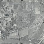
|
860-2909-1-2-6
38.993031 -95.241733 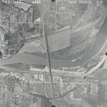
|
|
860-2909-1-2-7
38.992766 -95.229771 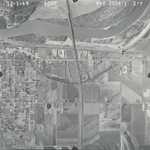
|
860-2909-1-2-8
38.992555 -95.218593 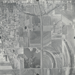
|
860-2909-1-2-9
38.992555 -95.206256 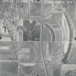
|
860-2909-1-2-10
38.992687 -95.19334 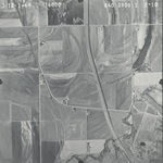
|