


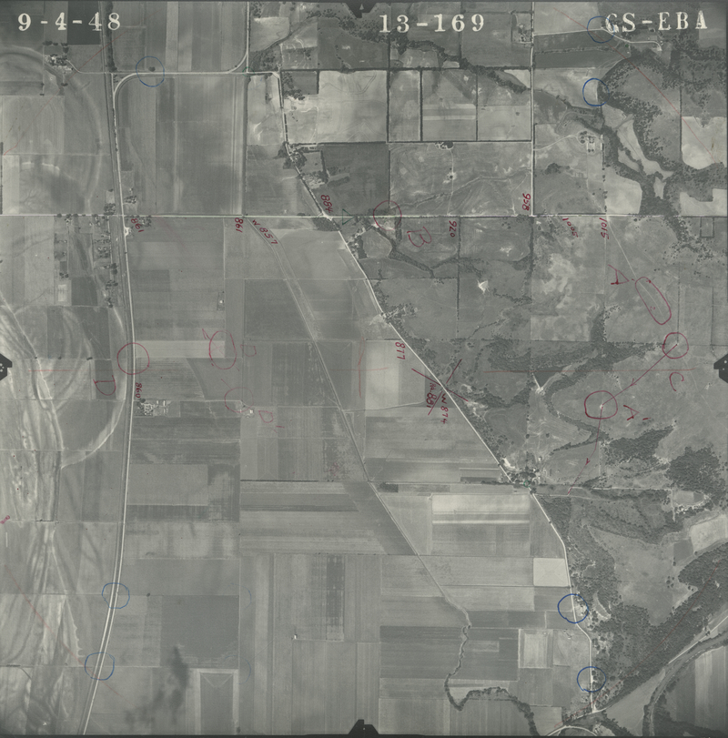
Historical Aerial Photo Database--Sheet 1, Folder 1365, File GS-EBA-13-169
-
File: GS-EBA-13-169
-
Higher-resolution PDF available
-
Latitude/Longitude of center: 39.094253, -95.454383
-
Notes: North to right.
-
Dates: 10-9-1948, 9-9-1948, and 9-5-1948
Kansas Geological Survey
Comments to webadmin@kgs.ku.edu
URL=http://www.kgs.ku.edu/Magellan/Aerials/index.html
Program Updated Aug. 28, 2018