Historical Aerial Photo Database--
Sheet 1, Folder 1370
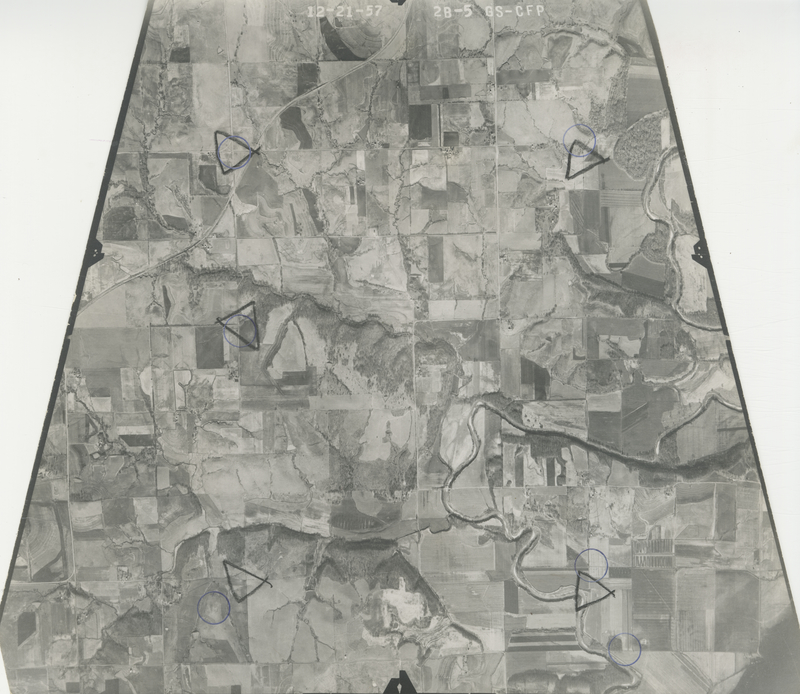
, File GS-CFP-2B-5
File: GS-CFP-2B-5
Higher-resolution PDF available
Latitude/Longitude of center: 39.276323, -95.481326
Dates: 12-21-1957
Kansas Geological Survey
Comments to webadmin@kgs.ku.edu
URL=http://www.kgs.ku.edu/Magellan/Aerials/index.html
Program Updated Aug. 28, 2018