Historical Aerial Photo Database--
Sheet 1, Folder 1766
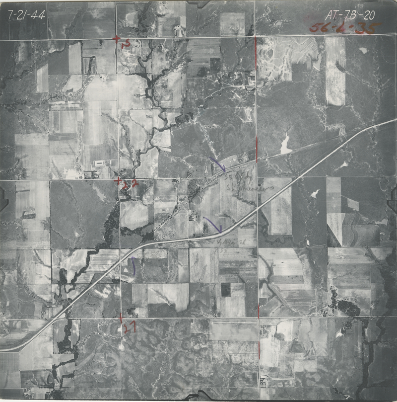
, File AT-7B-20
File: AT-7B-20
Higher-resolution PDF available
Latitude/Longitude of center: 38.387427, -95.958088
Dates: 6-19-1945
Kansas Geological Survey
Comments to webadmin@kgs.ku.edu
URL=http://www.kgs.ku.edu/Magellan/Aerials/index.html
Program Updated Aug. 28, 2018