Historical Aerial Photo Database--
Sheet 1, Folder 233
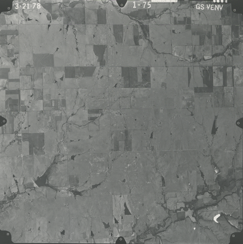
, File GS-VENV_1-75
File: GS-VENV_1-75
Higher-resolution PDF available
Latitude/Longitude of center: 37.530851, -96.842017
Dates: 3-21-1978
Kansas Geological Survey
Comments to webadmin@kgs.ku.edu
URL=http://www.kgs.ku.edu/Magellan/Aerials/index.html
Program Updated Aug. 28, 2018