


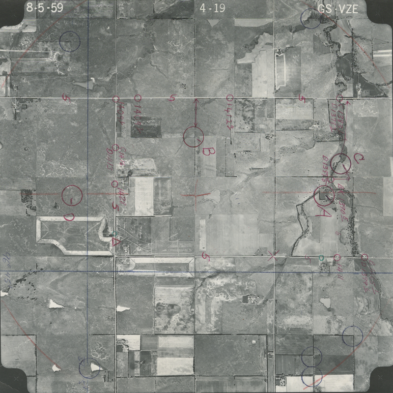
Historical Aerial Photo Database--Sheet 1, Folder 243, File GS-VZE_4-19
-
File: GS-VZE_4-19
-
Higher-resolution PDF available
-
Latitude/Longitude of center: 37.759121, -96.759674
-
T. 26 S., R. 6 E., sec. 27
-
Notes: North to right.
-
Dates: 8-4-1959 and 8-5-1959
Kansas Geological Survey
Comments to webadmin@kgs.ku.edu
URL=http://www.kgs.ku.edu/Magellan/Aerials/index.html
Program Updated Aug. 28, 2018