Historical Aerial Photo Database--
Sheet 1, Folder 279
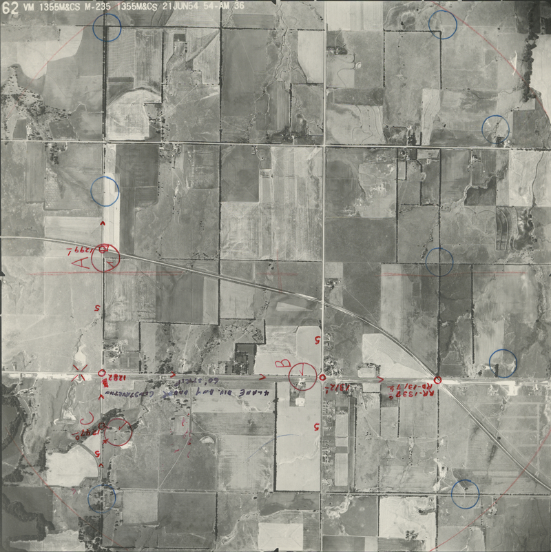
, File M_and_CS_62
File: M_and_CS_62
Higher-resolution PDF available
Latitude/Longitude of center: 37.673263, -97.040557
Notes: North to bottom of image.
Dates: 6-21-1954
Kansas Geological Survey
Comments to webadmin@kgs.ku.edu
URL=http://www.kgs.ku.edu/Magellan/Aerials/index.html
Program Updated Aug. 28, 2018