Historical Aerial Photo Database--
Sheet 1, Folder 284
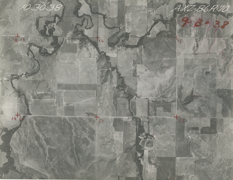
, File AXZ-86R-70
File: AXZ-86R-70
Higher-resolution PDF available
Latitude/Longitude of center: 38.134138, -96.782724
Dates: 10-30-1938
Kansas Geological Survey
Comments to webadmin@kgs.ku.edu
URL=http://www.kgs.ku.edu/Magellan/Aerials/index.html
Program Updated Aug. 28, 2018