


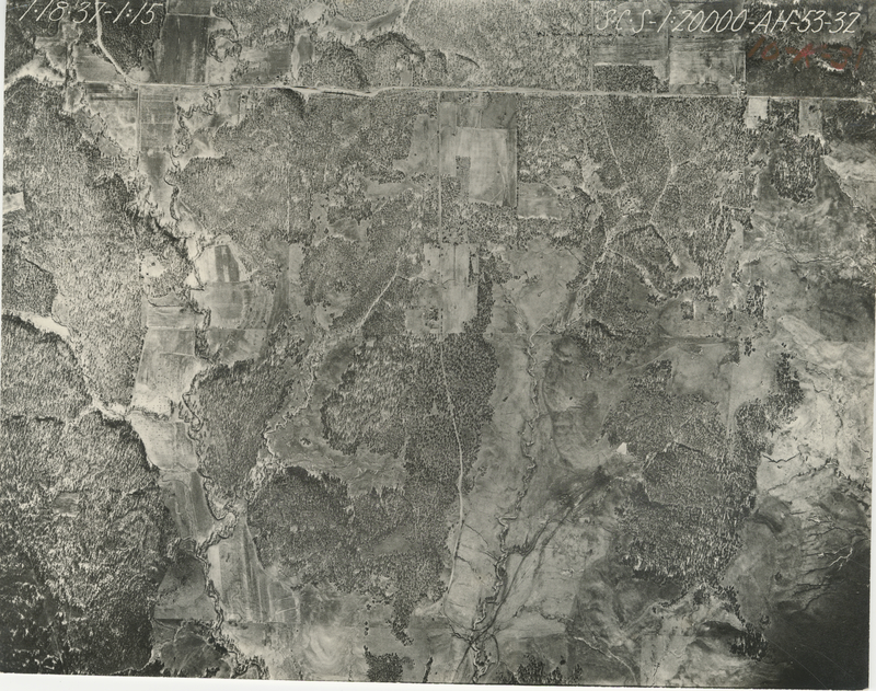
Historical Aerial Photo Database--Sheet 1, Folder 329, File AH-53-32
-
File: AH-53-32
-
Higher-resolution PDF available
-
Latitude/Longitude of center: 36.999345, -96.151499
-
T. 35 S., R. 11 E., sec. 13
-
Dates: 4-2-1937, 1-3-1937, 1-18-1937, and 4-11-1937
Kansas Geological Survey
Comments to webadmin@kgs.ku.edu
URL=http://www.kgs.ku.edu/Magellan/Aerials/index.html
Program Updated Aug. 28, 2018