Historical Aerial Photo Database--
Sheet 1, Folder 333
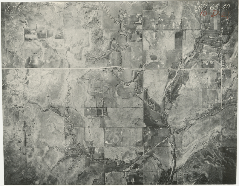
, File AH-65-40
File: AH-65-40
Higher-resolution PDF available
Latitude/Longitude of center: 37.106085, -96.403859
Dates: 3-2-1937 and 11-22-1936
Kansas Geological Survey
Comments to webadmin@kgs.ku.edu
URL=http://www.kgs.ku.edu/Magellan/Aerials/index.html
Program Updated Aug. 28, 2018