Historical Aerial Photo Database--
Sheet 1, Folder 36
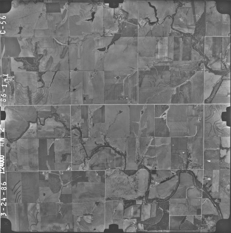
, File AN-2-C-56
File: AN-2-C-56
Higher-resolution PDF available
Latitude/Longitude of center: 38.359393, -95.346611
Dates: 3-24-1986
Kansas Geological Survey
Comments to webadmin@kgs.ku.edu
URL=http://www.kgs.ku.edu/Magellan/Aerials/index.html
Program Updated Aug. 28, 2018