


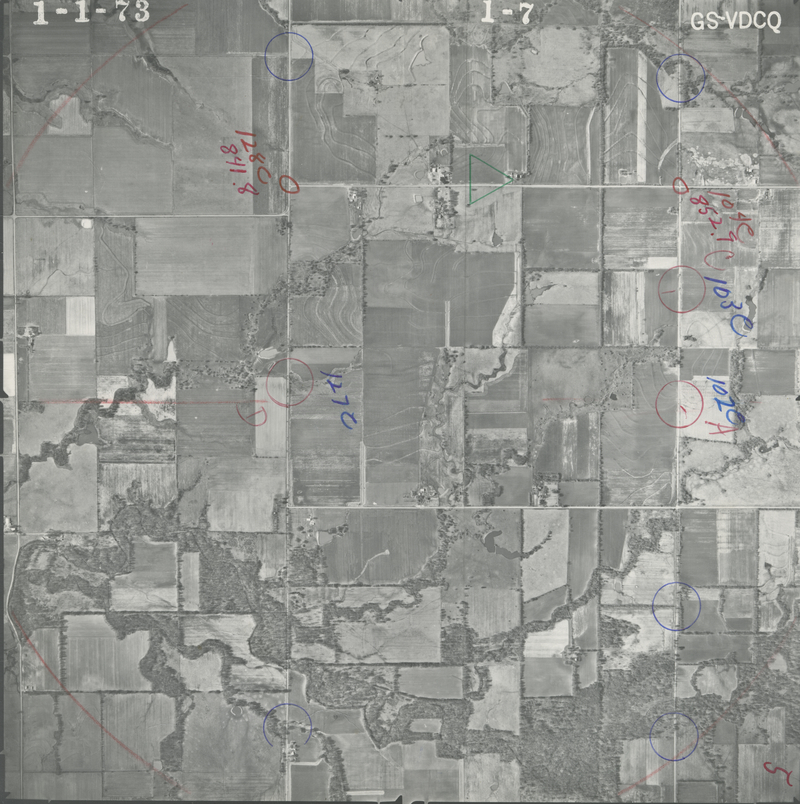
Historical Aerial Photo Database--Sheet 1, Folder 384, File GS-VDCQ_1-7
-
File: GS-VDCQ_1-7
-
Higher-resolution PDF available
-
Latitude/Longitude of center: 37.004835, -94.947632
-
T. 35 S., R. 22 E., sec. 12
-
Notes: North to right.
-
Dates: 1-1-1973
Kansas Geological Survey
Comments to webadmin@kgs.ku.edu
URL=http://www.kgs.ku.edu/Magellan/Aerials/index.html
Program Updated Aug. 28, 2018