Historical Aerial Photo Database--
Sheet 1, Folder 417
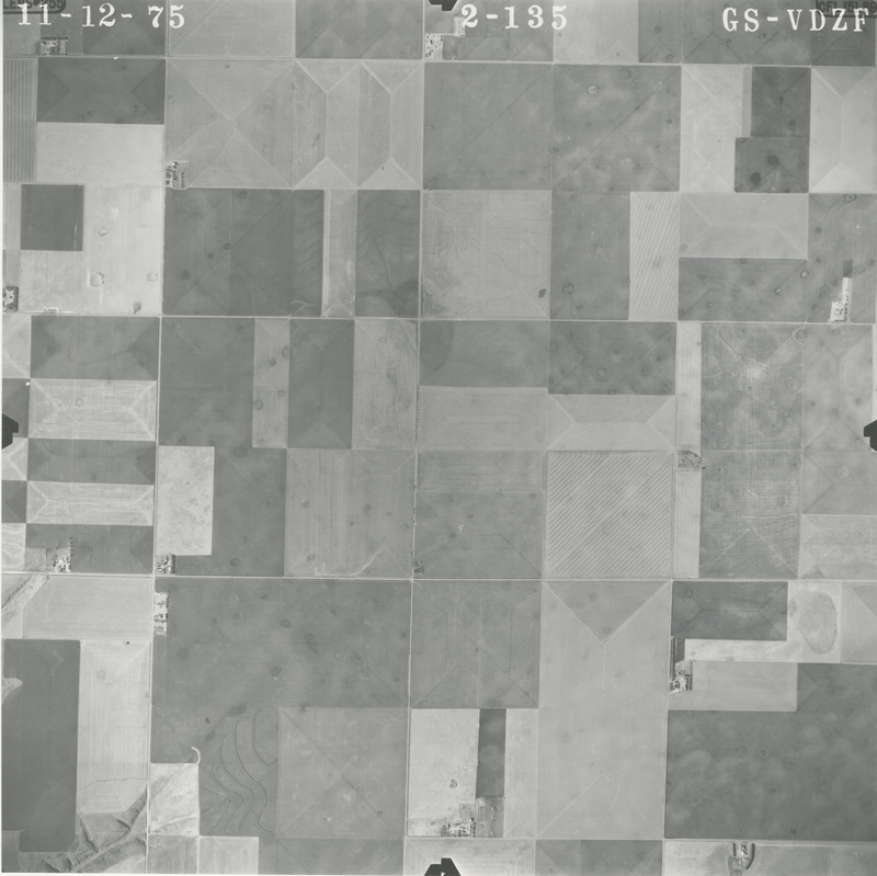
, File GS-VDZF_2-135
File: GS-VDZF_2-135
Higher-resolution PDF available
Latitude/Longitude of center: 39.859777, -101.382534
Notes: North to right.
Dates: 11-12-1975
Kansas Geological Survey
Comments to webadmin@kgs.ku.edu
URL=http://www.kgs.ku.edu/Magellan/Aerials/index.html
Program Updated Aug. 28, 2018