


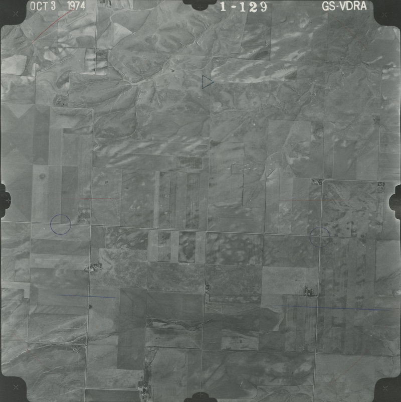
Historical Aerial Photo Database--Sheet 1, Folder 431, File GS-VDRA_1-129
-
File: GS-VDRA_1-129
-
Higher-resolution PDF available
-
Latitude/Longitude of center: 39.8292, -101.639563
-
T. 3 S., R. 39 W., sec. 1
-
Notes: North to right.
-
Dates: 10-3-1974
Kansas Geological Survey
Comments to webadmin@kgs.ku.edu
URL=http://www.kgs.ku.edu/Magellan/Aerials/index.html
Program Updated Aug. 28, 2018