Historical Aerial Photo Database--
Sheet 1, Folder 452
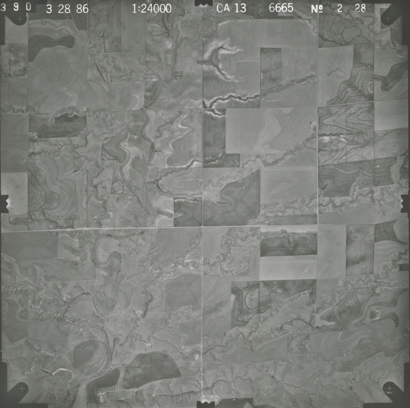
, File CA13_2-28
File: CA13_2-28
Higher-resolution PDF available
Latitude/Longitude of center: 37.426971, -99.906544
Notes: North to right.
Dates: 3-28-1986
Kansas Geological Survey
Comments to webadmin@kgs.ku.edu
URL=http://www.kgs.ku.edu/Magellan/Aerials/index.html
Program Updated Aug. 28, 2018