Historical Aerial Photo Database--
Sheet 1, Folder 553
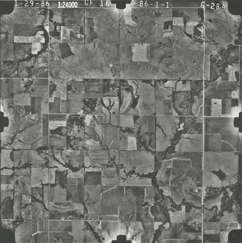
, File CF-16-G-284
File: CF-16-G-284
Higher-resolution PDF available
Latitude/Longitude of center: 38.242453, -95.522889
Notes: North to right.
Dates: 1-29-1986
Kansas Geological Survey
Comments to webadmin@kgs.ku.edu
URL=http://www.kgs.ku.edu/Magellan/Aerials/index.html
Program Updated Aug. 28, 2018