Historical Aerial Photo Database--
Sheet 1, Folder 566
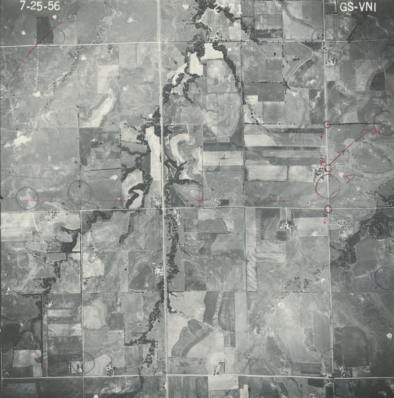
, File GS-VNI-2-71
File: GS-VNI-2-71
Higher-resolution PDF available
Latitude/Longitude of center: 38.407992, -95.656771
Notes: North to right.
Dates: 7-25-1956
Kansas Geological Survey
Comments to webadmin@kgs.ku.edu
URL=http://www.kgs.ku.edu/Magellan/Aerials/index.html
Program Updated Aug. 28, 2018