Historical Aerial Photo Database--
Sheet 1, Folder 602
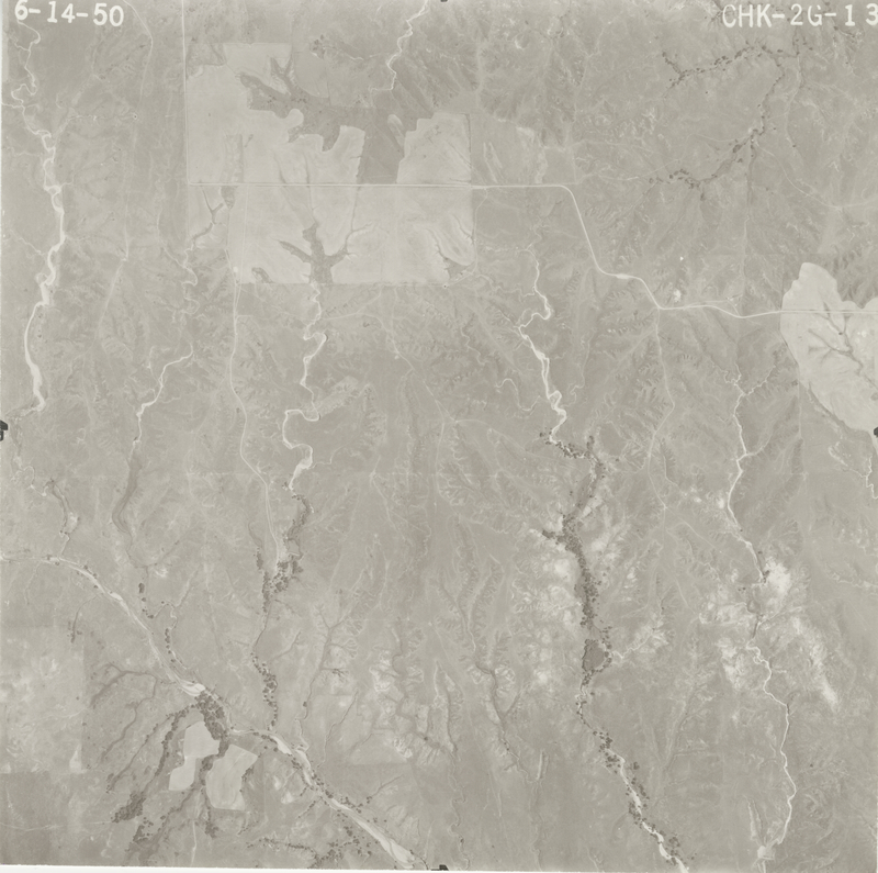
, File CHK-2G-13
File: CHK-2G-13
Higher-resolution PDF available
Latitude/Longitude of center: 37.238707, -99.091533
Dates: 6-15-1950
Kansas Geological Survey
Comments to webadmin@kgs.ku.edu
URL=http://www.kgs.ku.edu/Magellan/Aerials/index.html
Program Updated Aug. 28, 2018