


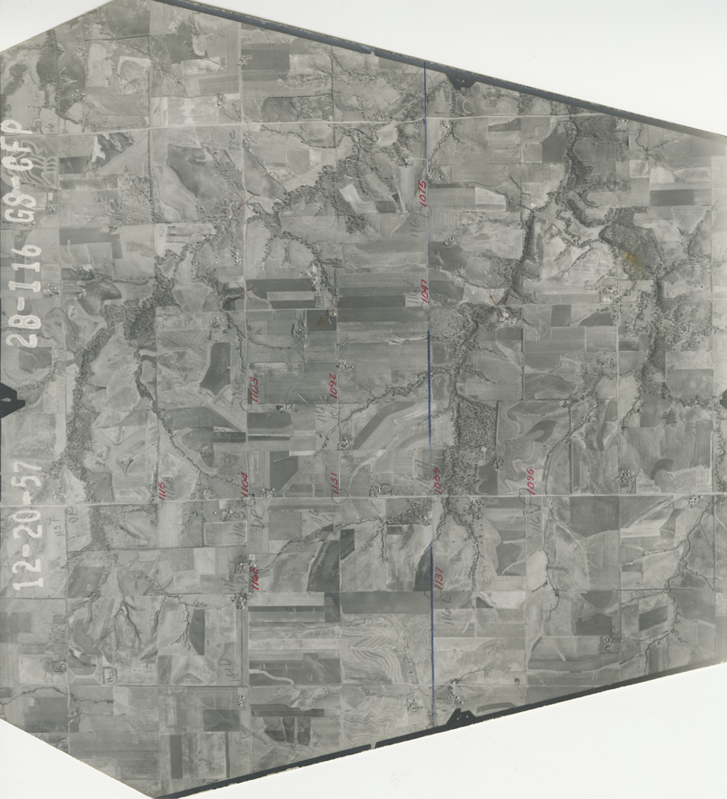
Historical Aerial Photo Database--Sheet 1, Folder 67, File GS-CFP-2B-116
-
File: GS-CFP-2B-116
-
Higher-resolution PDF available
-
Latitude/Longitude of center: 39.63082, -95.311342
-
T. 5 S., R. 19 E., sec. 8
-
Notes: North to left.
-
Dates: 12-20-1957
Kansas Geological Survey
Comments to webadmin@kgs.ku.edu
URL=http://www.kgs.ku.edu/Magellan/Aerials/index.html
Program Updated Aug. 28, 2018