Historical Aerial Photo Database--
Sheet 1, Folder 662
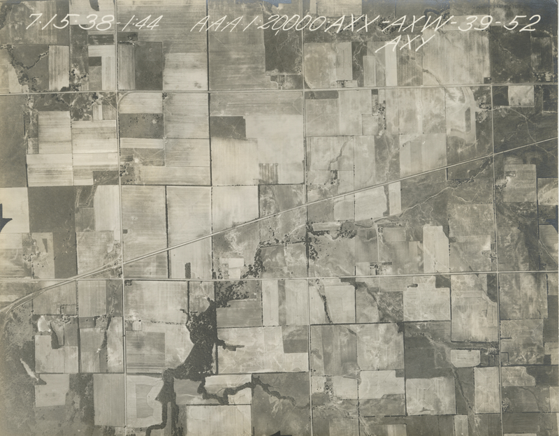
, File AXW-39-52
File: AXW-39-52
Higher-resolution PDF available
Latitude/Longitude of center: 37.344608, -95.070939
Dates: 7-15-1938 and 7-3-1938
Kansas Geological Survey
Comments to webadmin@kgs.ku.edu
URL=http://www.kgs.ku.edu/Magellan/Aerials/index.html
Program Updated Aug. 28, 2018