Historical Aerial Photo Database--
Sheet 1, Folder 77
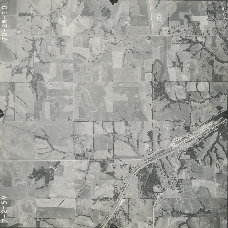
, File ZD-2W-30
File: ZD-2W-30
Higher-resolution PDF available
Latitude/Longitude of center: 39.550989, -95.188864
Dates: 7-2-1959
Kansas Geological Survey
Comments to webadmin@kgs.ku.edu
URL=http://www.kgs.ku.edu/Magellan/Aerials/index.html
Program Updated Aug. 28, 2018