Historical Aerial Photo Database--
Sheet 1, Folder 766
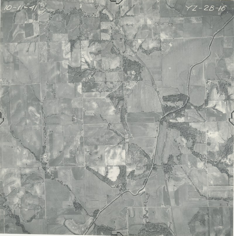
, File GS-YZ-2B-16
File: GS-YZ-2B-16
Higher-resolution PDF available
Latitude/Longitude of center: 39.799621, -95.228791
Dates: 10-11-1941
Kansas Geological Survey
Comments to webadmin@kgs.ku.edu
URL=http://www.kgs.ku.edu/Magellan/Aerials/index.html
Program Updated Aug. 28, 2018