Historical Aerial Photo Database--
Sheet 1, Folder 9
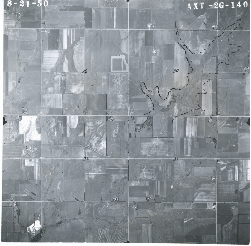
, File AXT-2G-140
File: AXT-2G-140
Higher-resolution PDF available
Latitude/Longitude of center: 37.920274, -95.26267
T. 24 S., R. 19 E., sec. 36
Dates: 8-21-1950
Kansas Geological Survey
Comments to webadmin@kgs.ku.edu
URL=http://www.kgs.ku.edu/Magellan/Aerials/index.html
Program Updated Aug. 28, 2018