Historical Aerial Photo Database--
Sheet 1, Folder 86
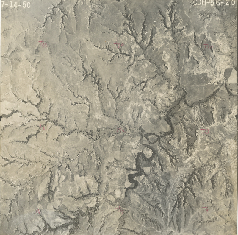
, File CDH-5G-20
File: CDH-5G-20
Higher-resolution PDF available
Latitude/Longitude of center: 37.226096, -98.769147
Dates: 7-14-1950
Kansas Geological Survey
Comments to webadmin@kgs.ku.edu
URL=http://www.kgs.ku.edu/Magellan/Aerials/index.html
Program Updated Aug. 28, 2018