|
1
||
2
|
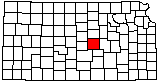
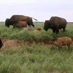
Bison at Maxwell Wildlife Refuge
|
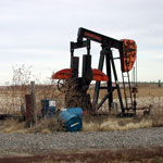
Pumpjack
|
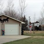
Oil Field Junkyard
|
Pumpjack
|
Bison at Maxwell Wildlife Refuge
|
Smoky Valley Roller Mill
|
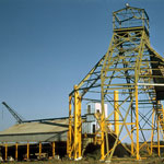
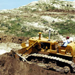
Buildex Inc. Expanded Shale Lightweight Aggregate Plant, Marquette
|
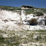
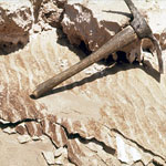
Volcanic Ash
|
Volcanic Ash
|
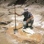
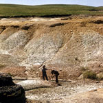
Volcanic Ash Pit
|
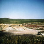
Volcanic Ash Quarry
|
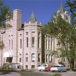
McPherson County Courthouse
|
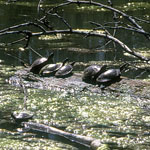
Turtles at Maxwell Wildlife Refuge
|
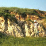
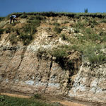
Permian-Cretaceous Contact
|
Permian-Cretaceous Contact
|
Volcanic Ash
|
Dakota Formation Hills
|
Ninnescah Shale
|
|
1
||
2
|