|
1
||
2
||
3
|
Groundwater Measurement Along Dry Riverbed
|
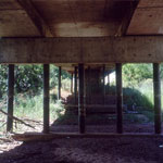
Highway Bridge Over Dry Arkansas River
|
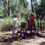
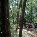
Monitoring Water Uptake in Trees
|
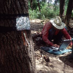
Tagged Trees for Riparian Water Use Measurements
|
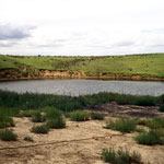
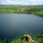
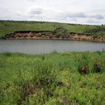
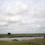
Macksville Sink
|
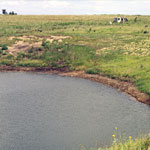
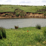
Macksville Sink
|
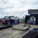
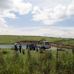
KGS Seismic Crew at Macksville Sink
|
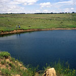
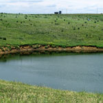
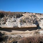
Macksville Sink
|
KGS Seismic Measurements at Macksville Sink
|
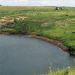
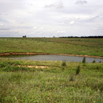
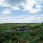
North Side of Macksville Sink
|
Macksville Sink
|
Macksville Sink
|
Seismic Measurement at Macksville Sink
|
Pumping near Macksville Sink
|
Seismic Measurement at Macksville Sink
|
Macksville Sink
|
Macksville Sink
|
Fencepost Limestone of the Greenhorn Limestone Formation
|
|
1
||
2
||
3
|