|
1
||
2
|
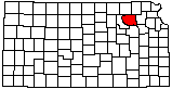
Bayer Stone Co. Stone Yard
|
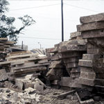
Bayer Stone Co.
|
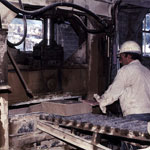
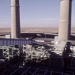
Jeffrey Energy Center Coal Pile and Lift
|
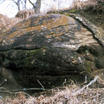
Sandstone Concretion
|
Jeffrey Energy Center Coal Conveyer
|
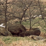
Sandstone Concretions
|
Sandstone Concretion

|
Sandstone Concretion
|
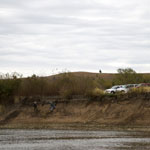
Coffey Geoarchaeology Site
|
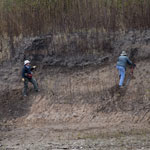
Geoarchaeologists on Big Blue River Bank
|
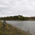
Total Station Measurements at Coffey Geoarchaeology Site
|
Total Station Measurements at Coffey Geoarchaeology Site
|
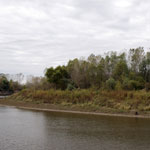
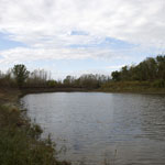
View Downstream on Big Blue River
|
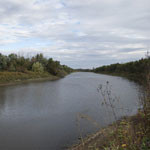
View Upstream on Big Blue River
|
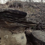
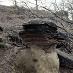
Sandstone Concretion Hoodoo
|
|
1
||
2
|