|
1
||
2
||
3
|
Harper Sandstone
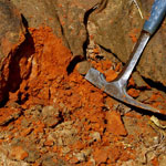
|
Harper Sandstone
|
Sandpit
|
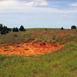
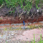
Ninnescah Shale
|
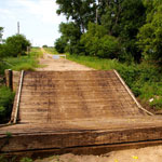
Red Rock Creek Bridge Collapse
|
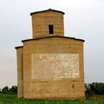
Abandoned Grain Elevator
|
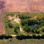
Abandoned Sand Pit (Aerial)
|
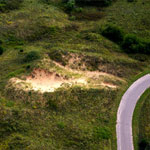
Blown Out Sand Dune (Aerial)
|
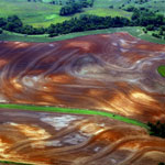
Ninnescah Shale in Contoured Field (Aerial)
|
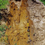
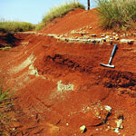
Ninnescah Shale and Gray Siltstone
|
Ninnescah Shale and Rosette Calcareous Concretions
|
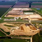
Reno County Landfill (Aerial)
|
Braided Channel Borrow Pit
|
Sand Hills State Park (Aerial)
|
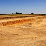
Excavation Site
|
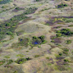
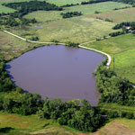
Water-Filled Sinkhole (Aerial)
|
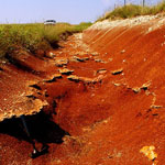
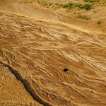
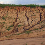
Rills in a Borrow Pit
|
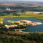
Sand Pit
|
|
1
||
2
||
3
|