KGS Photo Display System

Photos from Riley County

location map
Help Comments
29 records returned--18 displayed at a time. Select photo to view larger version.
1 || 2
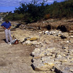
Unearthed Fossil Beds Below Tuttle Creek Dam
photo--if missing then file not yet transferred
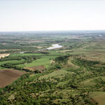
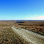
Kansas River Valley (Aerial)
photo--if missing then file not yet transferred
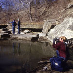
Deep Creek Below Pillsbury Crossing
photo--if missing then file not yet transferred
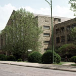
Ahearn Field House at Kansas State University
photo--if missing then file not yet transferred
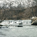
Collapsed Elmont Limestone Shelf at Pillsbury Crossing
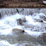
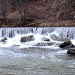
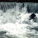
photo--if missing then file not yet transferred
Pillsbury Crossing
photo--if missing then file not yet transferred
Pillsbury Crossing
photo--if missing then file not yet transferred
Pillsbury Crossing
photo--if missing then file not yet transferred
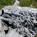
Dissolution of Limestone on Konza Prairie
photo--if missing then file not yet transferred
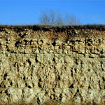
Florence Limestone Member
photo--if missing then file not yet transferred
Konza Prairie
photo--if missing then file not yet transferred
1 || 2

Kansas Geological Survey, Educational Resources
Feel free to use photos from the Kansas Geological Survey's collection for any non-commercial use.
Please credit the Kansas Geological Survey for photos you use.
Comments to webadmin@kgs.ku.edu
URL=http://www.kgs.ku.edu/Images/DB/index.html
Program updated Nov. 11, 2004. Photos added periodically.