|
1
||
2
|
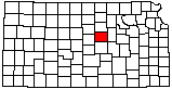
Interstate 70 Overpass Over Interstate 135 (Aerial)
|
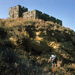
Dakota Sandstone Outcrop near Coronado Heights

|
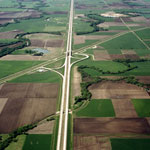
Oil Field Tanks
|
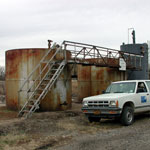
Brookville Grade School
|
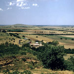
North View from Coronado Heights
|
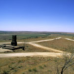
Coronado Heights Picnic Area
|
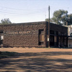
Brookville Bank and Hotel
|
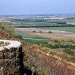
View toward Salina from Coronado Heights
|
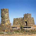
Coronado Heights "Castle"
|
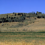
Coronado Heights
|
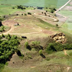
Coronado Heights (Aerial)
|
Coronado Heights
|
|
1
||
2
|