|
1
||
2
||
3
||
4
|
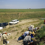
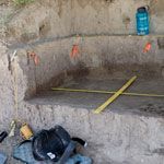
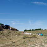
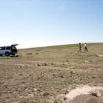
Beaver Creek Excavation Site
|
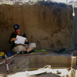
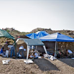
Recording Dig Levels at Beaver Creek Excavation Site
|
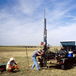
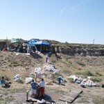
Drilling Core Samples
|
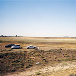
Beaver Creek Excavation Site
|
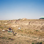
Middle Beaver Creek Excavation Site
|
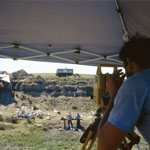
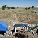
Dig Site at Beaver Creek
|
Uncovering Paleoindian Artifacts
|
Tool Fragment Discovery Site
|
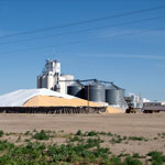
Wheat Surplus Storage
|
Excavation Site on Beaver Creek
|
Beaver Creek Excavation Site
|
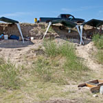
Excavation Site #6 on Beaver Creek
|
Excavation Site #6 at Beaver Creek
|
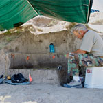
Rinsing Buried Soils at Excavation Site
|
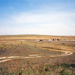
Middle Beaver Creek Near Kanorado
|
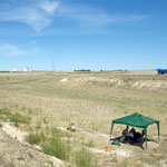
Mapping Subsurface Above Kanorado Excavation
|
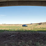
Bear Creek Excavation Site
|
Geoarchaeology Excavations
|
|
1
||
2
||
3
||
4
|