|
1
||
2
||
3
||
4
||
5
|
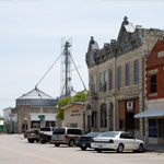
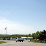
Downtown Alma
|
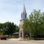
Peace United Church of Christ
|
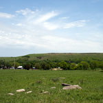
Valley Ranch in Flint Hills
|
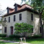
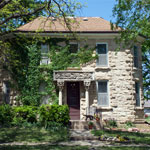
Schroeder House
|
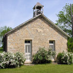
Snokomo School
|
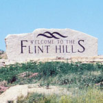
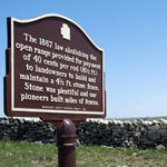
Sign at Northeastern Edge of Flint Hills
|
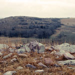
Sioux Quartzite Glacial Erratics
|
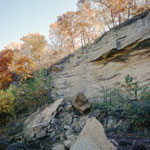
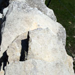
Spalled Indian Cave Sandstone at Echo Cliff
|
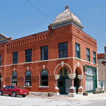
Security State Bank (Waugh Bank)
|
Cottonwood Limestone Fence
|
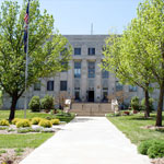
Wabaunsee County Courthouse
|
Fusulinid Fossils in Limestone Fence
|
North Shore of Lake Wabaunsee
|
Limestone Octagon House
|
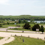
Lake Wabaunsee
|
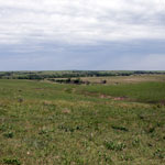
View Over the Road to Hessdale
|
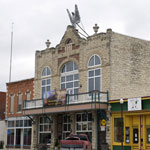
Columbian Theatre
|
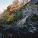
Echo Cliff
|
|
1
||
2
||
3
||
4
||
5
|
