|
1
||
2
||
3
||
4
||
5
|
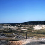
Mine Waste from Lead and Zinc mining
|
Mine Waste from Lead and Zinc Mining
|
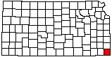
Chat Piles from Lead and Zinc Mining
|
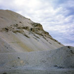
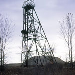
Tower and Chat Pile from Lead and Zinc Mining
|
Mining Waste
|
Collapsed Mine
|
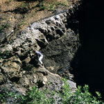
Sinkhole
|
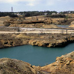
Mine Waste from Lead and Zinc Mine
|
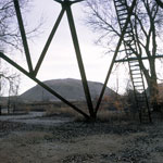
Mine Waste from Lead and Zinc Mining
|
Mine Waste from Lead and Zinc Mining
|
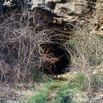
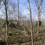
Schermerhorn Cave
|
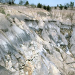
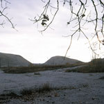
Reclaimed Strip Mine
|
Mississippian Limestone Outcrop
|
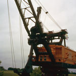
Big Brutus
|
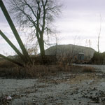
Collapsed Bridge
|
Chat Piles from Lead and Zinc Mining
|
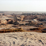
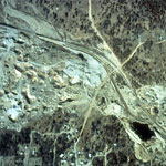
Abandoned Mine Spoils (Aerial)
|
Mississippian Cherty Limestone
|
|
1
||
2
||
3
||
4
||
5
|