|
1
||
2
||
3
|
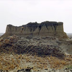
Loess Butte
|
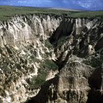
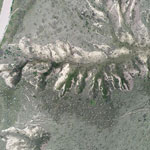
Loess Canyon
|
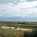
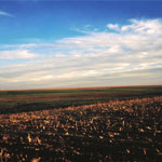
Republican River Valley
|
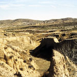
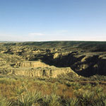
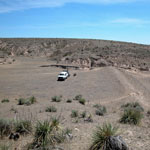
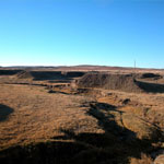
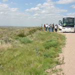
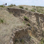
Arikaree Breaks
|
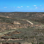
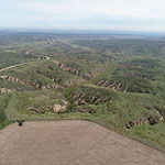
Devil's Canyon, Arikaree Breaks
|
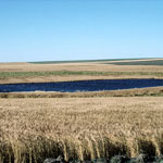
Rain-Filled Playa
|
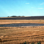
Dry Playa
|
Dry Playa
|
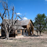
Abandoned Farmhouse
|
Loess Dam (Breached)
|
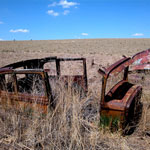
Abandoned Vehicles on the High Plains
|
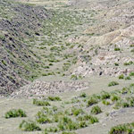
Lower Hay Canyon
|
Arikaree Breaks
|
Arikaree Breaks
|
Arikaree Breaks
|
Arikaree Breaks
|
Arikaree Breaks
|
Arikaree Breaks
|
|
1
||
2
||
3
|
|