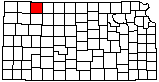
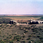
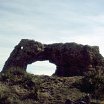
Elephant Rock (now collapsed)

|
Elephant Rock (now collapsed)
|
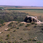
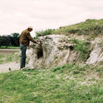
Reager Ash Outcrop
|
Elephant Rock (now collapsed)
|
Loveland-Peoria Contact
|
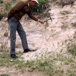
Reager Ash Bed
|
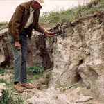
Reager Ash Bed
|
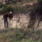
Reager Ash Bed
|
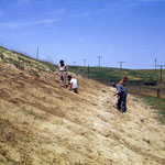
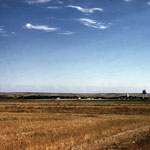
High Plains North of Oberlin
|
Reager Ash Bed
|
Elephant Rock (now collapsed)
|
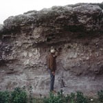
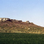
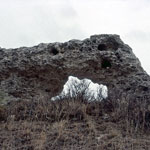
Elephant Rock (now collapsed) and Nearby Formations
|
Elephant Rock (now collapsed)
|
Elephant Rock (now collapsed)
|
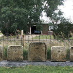
Gravestones (1878)
|