|
1
||
2
||
3
||
4
||
5
|
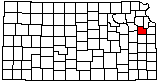
Gravel Pit
|
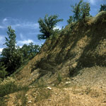
Tecumseh Hall
|
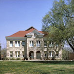
Blue Mound
|
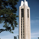
Memorial Campanile and Carillon
|
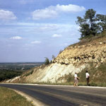
Wakarusa Valley Escarpment
|
Newman Terrace Gravels
|
Baker Wetlands
|
Santa Fe Trail Ruts
|
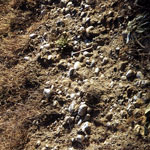
Fossiliferous Americus Limestone
|
Clinton Lake Dam
|
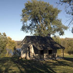
Town of Lone Star
|
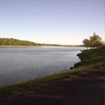
Lone Star Lake
|
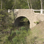
Chicken Creek Bridge
|
Territorial Kansas Democratic Headquarters
|
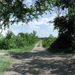
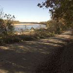
Riverfront Road between Lecompton and Lawrence
|
Hall Center for the Humanities
|
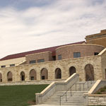
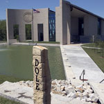
Dole Institute of Politics
|
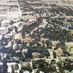
Mount Oread (Aerial)
|
|
1
||
2
||
3
||
4
||
5
|