|
1
||
2
||
3
|
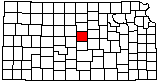
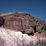
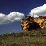
Indian Hill at Kanopolis Lake
|
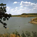
Dakota Sandstone House
|
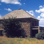
Landslide
|
Cross-Bedded Dakota Formation Sandstone
|
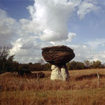
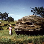
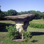
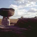
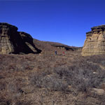
Mushroom Rock State Park
|
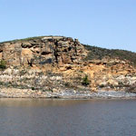
Indian Hill at Kanopolis Lake
|
Mushroom Rock State Park
|
Mushroom Rock State Park
|
Mushroom Rock State Park
|
Kanopolis State Park
|
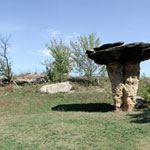
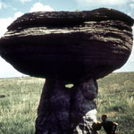
"Pulpit Rock" at Mushroom Rock State Park
|
Mushroom Rock State Park
|
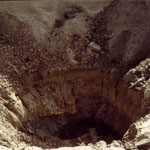
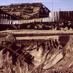
Blown-out Mine Shaft
|
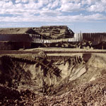
Blown-Out Mine Shaft
|
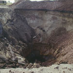
Blown-Out Mine Shaft
|
Blown-Out Mine Shaft
|
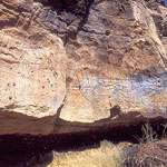
Palmer Cave Petroglyphs
|
Canyon Below Dakota Sandstone Bluffs
|
|
1
||
2
||
3
|