|
1
||
2
||
3
||
4
|
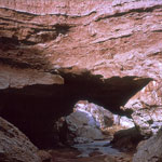
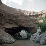
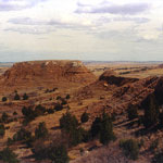
Natural Bridge
|
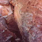
Collapsed Natural Bridge
|
Natural Bridge
|
Natural Bridge
|
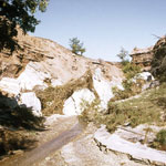
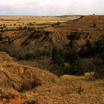
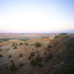
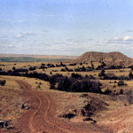
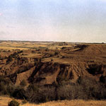
Red Hills
|
Red Hills
|
Red Hills
|
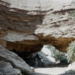
Collapsed Natural Bridge
|
Red Hills
|
Crossbedded Sandstone and Silt
|
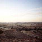
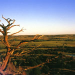
Red Hills Sunset
|
Red Hills
|
Red Hills
|
Red Hills
|
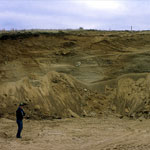
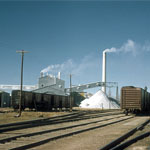
National Gypsum Plant
|
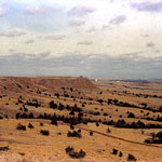
Red Hills
|
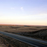
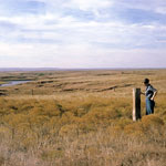
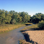
Medicine Lodge River
|
Red Hills
|
|
1
||
2
||
3
||
4
|
|