|
1
||
2
|
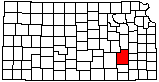
Turkey Vultures at Abandoned Farmhouse
|
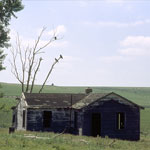
Drill Site at Hamilton Quarry
|
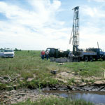
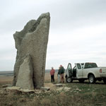
Teter Rock
|
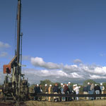
Drill Rig
|
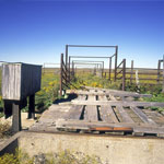
Cattle Weigh Station
|
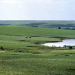
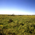
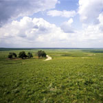
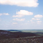
Flint Hills Open Range
|
Flint Hills Outcrop
|
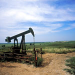
Flint Hills Pumpjack
|
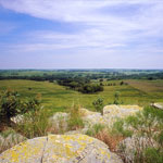
Osage Cuestas from Flint Hills
|
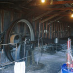
Multiple-Jack Pumphouse
|
Corral on Open Range
|
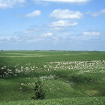
Flint Hills Open Range
|
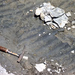
Ripple Marks
|
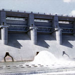
Fall River Dam
|
Teter Rock
|
Chert Near Eureka City Lake Spillway

|
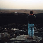
Evening at Teter Rock
|
Flint Hills
|
|
1
||
2
|
|