22 records returned. Select photo to view larger version.
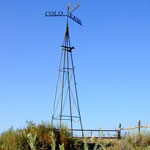 Eight Mile Corner
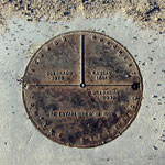 Monument marking Kansas, Colorado, Oklahoma State Lines
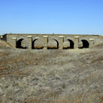 Stone Arch Bridge
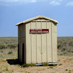 Prairie Chicken Blind at Cimarron National Grassland
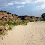 Dry Channel of Cimarron River
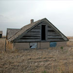 Half-Dugout House
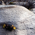 Wildflowers at Point of Rocks
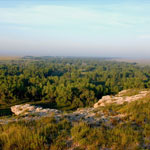
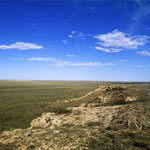
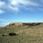 Point of Rocks
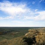
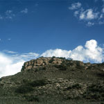 Point of Rocks
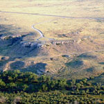 Point of Rocks and Cimarron River (Aerial)
 Point of Rocks
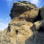
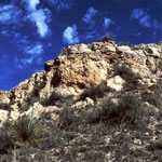 Ogallala Formation Outcrop at Point of Rocks
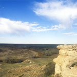
 Point of Rocks
 Point of Rocks
 Point of Rocks Ogallala Formation Outcrop
 Point of Rocks Outcrop
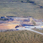 Ogallala Formation Caliche Pit
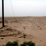 Blown Sand Across Cultivated Field
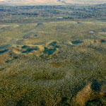 Stabilized Dunes (Aerial)
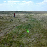 Santa Fe Trail Ruts
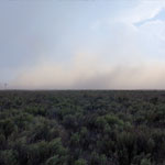 Dust Storm
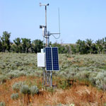 Remote Weather Station
Kansas Geological Survey · 1930 Constant Ave. · Lawrence, KS 66047-3724
785-864-3965 · Comments to webadmin@kgs.ku.edu
Updated April 2018
Website Terms of Use
Log In
