140 records returned. Select photo to view larger version.
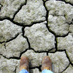
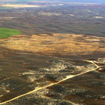
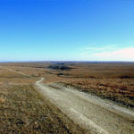
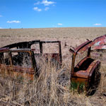 Abandoned Vehicles on the High Plains
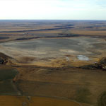
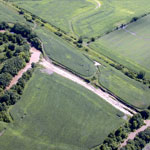
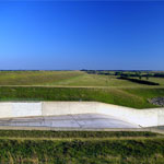
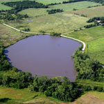
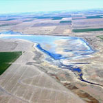
 Loess Dam (Breached)
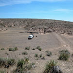
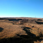
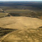
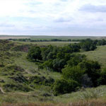
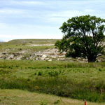
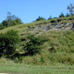
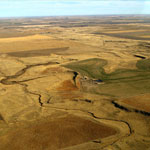
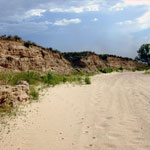
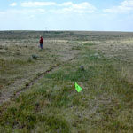
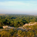
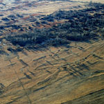
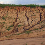
 Arikaree Breaks
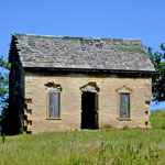
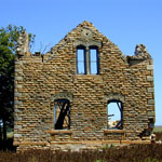
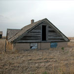
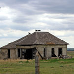
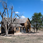 Abandoned Farmhouse
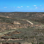
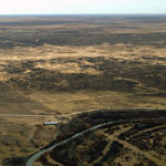
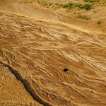
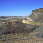
 Lower Hay Canyon
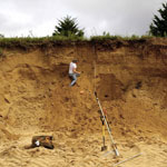
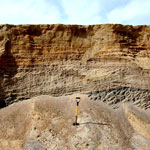
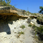
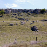
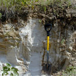
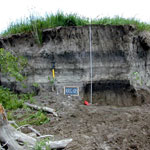
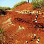
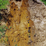
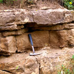
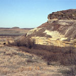
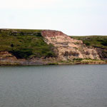 Ogallala Formation Outcrop at Clark State Fishing Lake
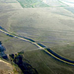
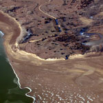
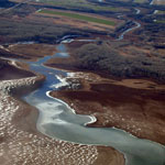
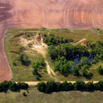
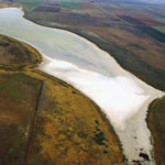
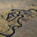
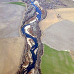 Republican River (Aerial)
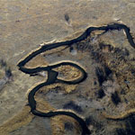
 Republican River (Aerial)
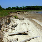
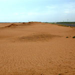
 Sand Hills
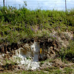
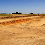
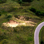
 Borrow Pit
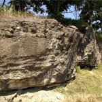 Oread Limestone
 Dunes over Glacial Drift
 Dunes over Glacial Drift
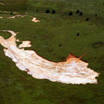
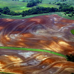
 Blown Sand in Field (Aerial)
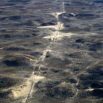
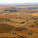
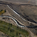
 Soule Canal (Soule's Folly) and Santa Fe Trail Ruts (Aerial)
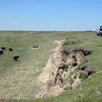
 Cattle Disturbances Along Fence Line
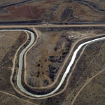
 Soule Canal and Santa Fe Trail Ruts (Aerial)
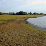
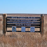 Wild Turkey Playa
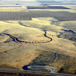
 Meander Tributary to Arkansas River (Aerial)
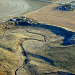
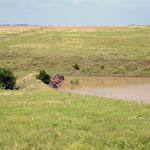
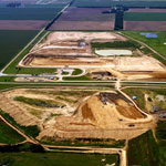
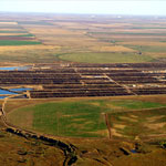
 Contained Feeding Operation and Lagoon (Aerial)
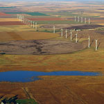
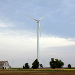 Wind Farm
 Wind Farm (Aerial)
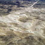 Dunes (Aerial)
 Gravel Pit
 Dunes (Aerial)
 Greenhorn Limestone
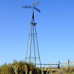
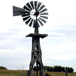 Wooden Aermotor Windmill
 Eroded Greenhorn Limestone and Graneros Shale
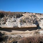
 Mortar Bed in Horse Thief Canyon
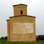
 Fort Dodge to Fort Hays Road Marker
 Greenhorn Limestone
 Ogallala Formation Mortar Bed
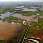
 Receded Lake Level at Lovewell Reservoir (Aerial)
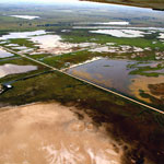
 White Rock Creek at Upper End of Lovewell Reservoir (Aerial)
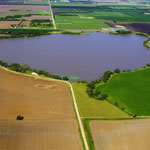
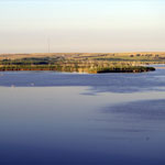
 Lovewell Reservoir
 Limestone House Ruins
 Limestone House Ruins
 Slope Collapse in Blue Hill Shale
 Limestone House Ruins
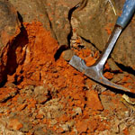
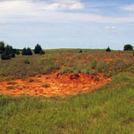
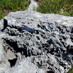
 Ash Deposits
 Old Car Bodies Protecting Pond Dam
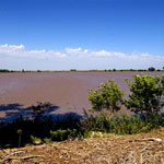
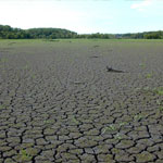 Mud Cracks at Lovewell Reservoir
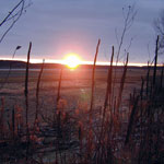 Sunset at Lovewell Reservoir
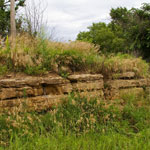
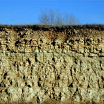
 Fort Hays Limestone Member
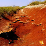
 Eroded Blue Hill Shale
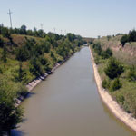 Courtland Canal
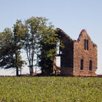
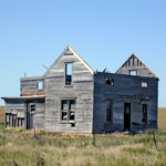 Farmhouse Ruins
 Abandoned Wood-Framed Farmhouse
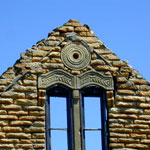
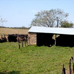 Greenhorn Limestone Shed
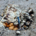 Septarian Concretions
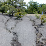
 Mud Cracks at Lovewell Reservoir
 Limestone House Ruins
 Ash Deposits
 Lovewell Reservoir
 Old Center Pivot Irrigation Field in the Sand Hills (Aerial)
 Dry Lake McKinney (Aerial)
 Amazon Canal (Aerial)
 Drilling Core at Mattox Draw
 Amazon Canal (Aerial)
 Amazon Canal (Aerial)
 Cattle Disturbances in Sand Hills (Aerial)
 Pipeline Scar in Sand Hills (Aerial)
 Upper Rattlesnake Creek (Aerial)
 Avian Wildlife in Playa
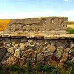 Limestone Rock Art
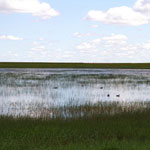
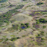
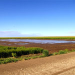
 Playa
Playa
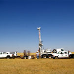 Core Drilling
 Core Drilling
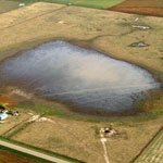 Rain-Filled Playa (Aerial)
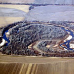
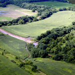 Floodwater Cutoff Meander at Stranger Creek (Aerial)
 Floodwater Cutoff Meander on Stranger Creek (Aerial)
 Lake Inman (Aerial)
 Lake Inman
 Ogallala Formation Caliche Pit
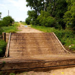
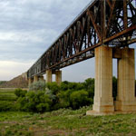
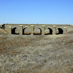 Stone Arch Bridge
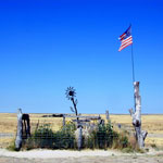
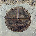 Monument marking Kansas, Colorado, Oklahoma State Lines
 Dry Channel of Cimarron River
 Half-Dugout House
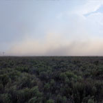 Dust Storm
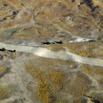
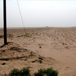 Blown Sand Across Cultivated Field
 Eight Mile Corner
 Stabilized Dunes (Aerial)
 Santa Fe Trail Ruts
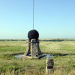
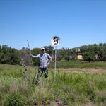
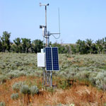 Remote Weather Station
 Prairie Chicken Blind at Cimarron National Grassland
 Point of Rocks and Cimarron River (Aerial)
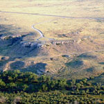
 Point of Rocks
 Keith Sebelius Lake Spillway
 Turkey Vultures Perched on Abandoned House
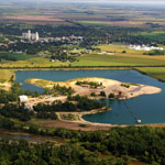
 Abandoned Golf Course at Cutting Lake
 Keith Sebelius Lake
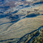
 Relic Braided Channel Bars Along Arkansas River (Aerial)
 Relic Braided Channel Bars Along Arkansas River (Aerial)
 Fencepost Limestone of the Greenhorn Limestone Formation
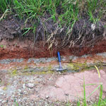
 Buried Soils in Terrace Fill
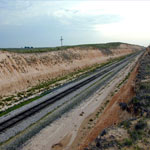
 Abandoned Railroad Bed
 Harper Sandstone
 Ninnescah Shale and Rosette Calcareous Concretions
 Water-Filled Sinkhole (Aerial)
 Ninnescah Shale in Light Gray Siltstone Bed (Aerial)
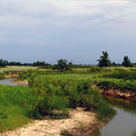
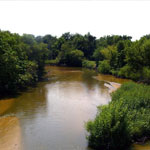 North Fork of the Ninnescah River
 Sand Pit
 Rills in a Borrow Pit
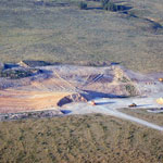
 Excavation Site
 Sand Hills State Park (Aerial)
 Braided Channel Borrow Pit
 Reno County Landfill (Aerial)
 Ninnescah Shale and Gray Siltstone
 Ninnescah Shale in Contoured Field (Aerial)
 Blown Out Sand Dune (Aerial)
 Abandoned Sand Pit (Aerial)
 Abandoned Grain Elevator
 Red Rock Creek Bridge Collapse
 Ninnescah Shale
 Sandpit
 Blowout in Sand Dunes
 Harper Sandstone
 Stone Corral Formation
 Stone Corral Formation
 Dissolution of Limestone on Konza Prairie
 Florence Limestone Member
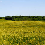
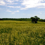
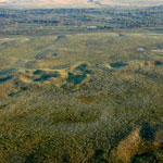
 Konza Prairie
 Dakota Sandstone Over Hell Creek
 Hell Creek Bridge
 Dry Lake (Aerial)
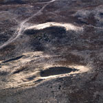
 Partially Filled Playa
 Small, Empty Playa
 Dry Lake (Aerial)
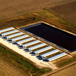
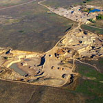
 Feedlot and Lagoons (Aerial)
 Samson of the Cimarron Railroad Bridge
 Railroad Cut in Ogallala Formation
 Sand Pit in Sand Hills (Aerial)
 Rattlesnake Creek
 Meander Bend on Rattlesnake Creek (Aerial)
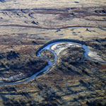
 Oxbow Lake on Rattlesnake Creek (Aerial)
 Meander Bend Cut-Off Along Rattlesnake Creek (Aerial)
 Quivira National Wildlife Refuge (Aerial)
 Quivira National Wildlife Refuge (Aerial)
 Blown Sand
 Mount Sunflower
Kansas Geological Survey · 1930 Constant Ave. · Lawrence, KS 66047-3724
785-864-3965 · Comments to webadmin@kgs.ku.edu
Updated April 2018
Website Terms of Use
Log In
